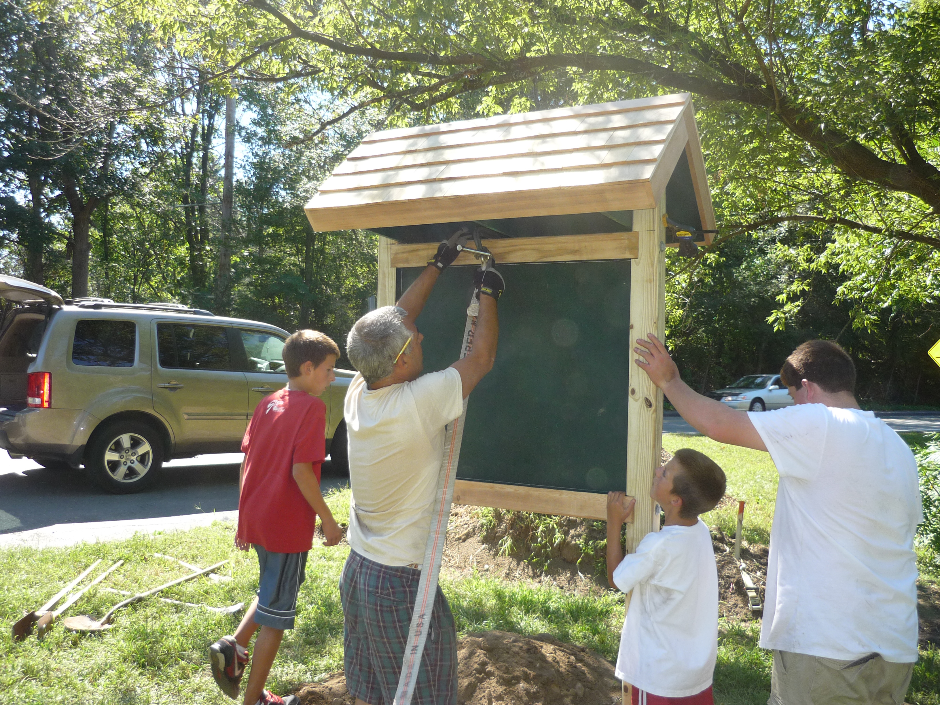
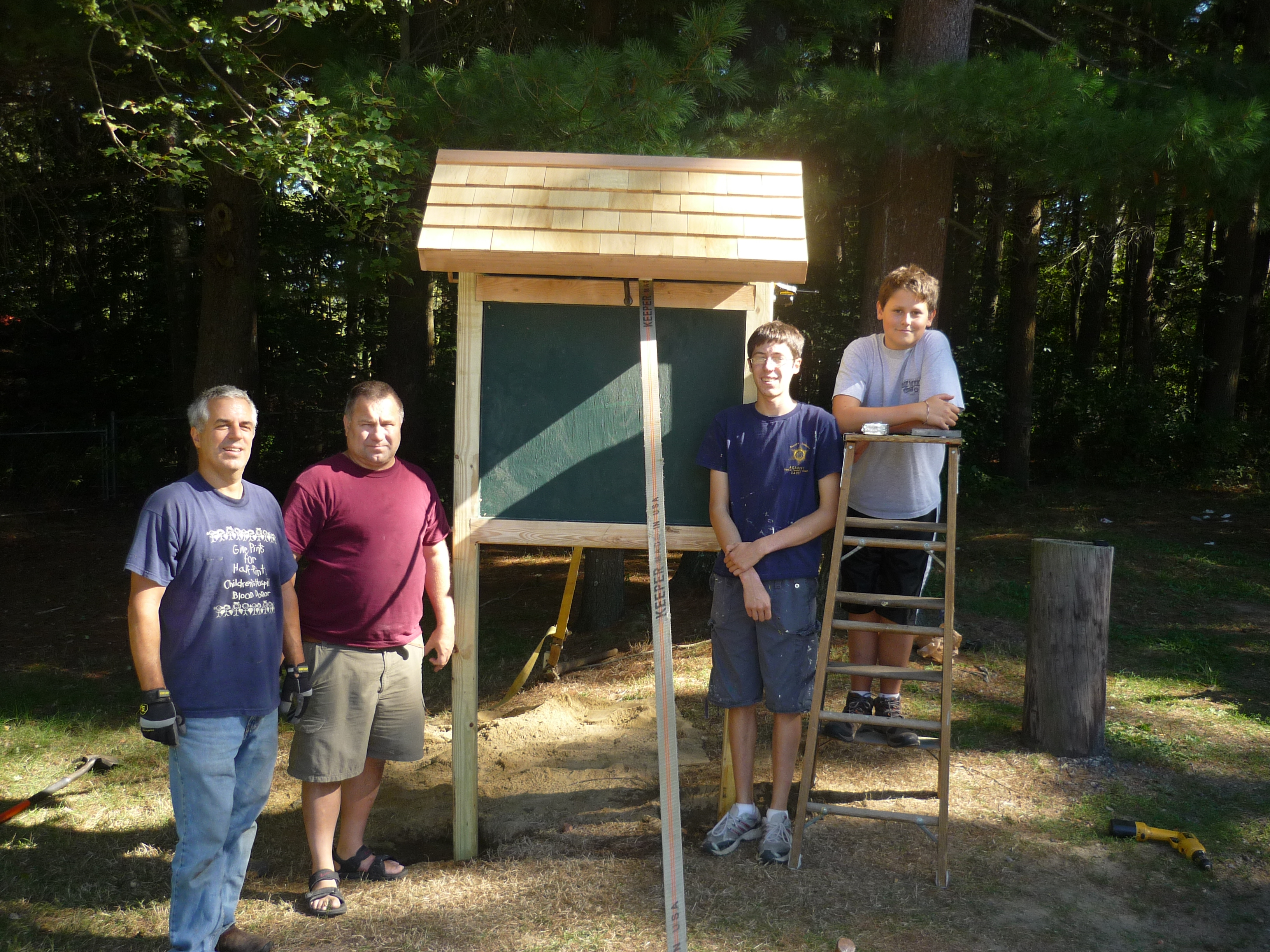
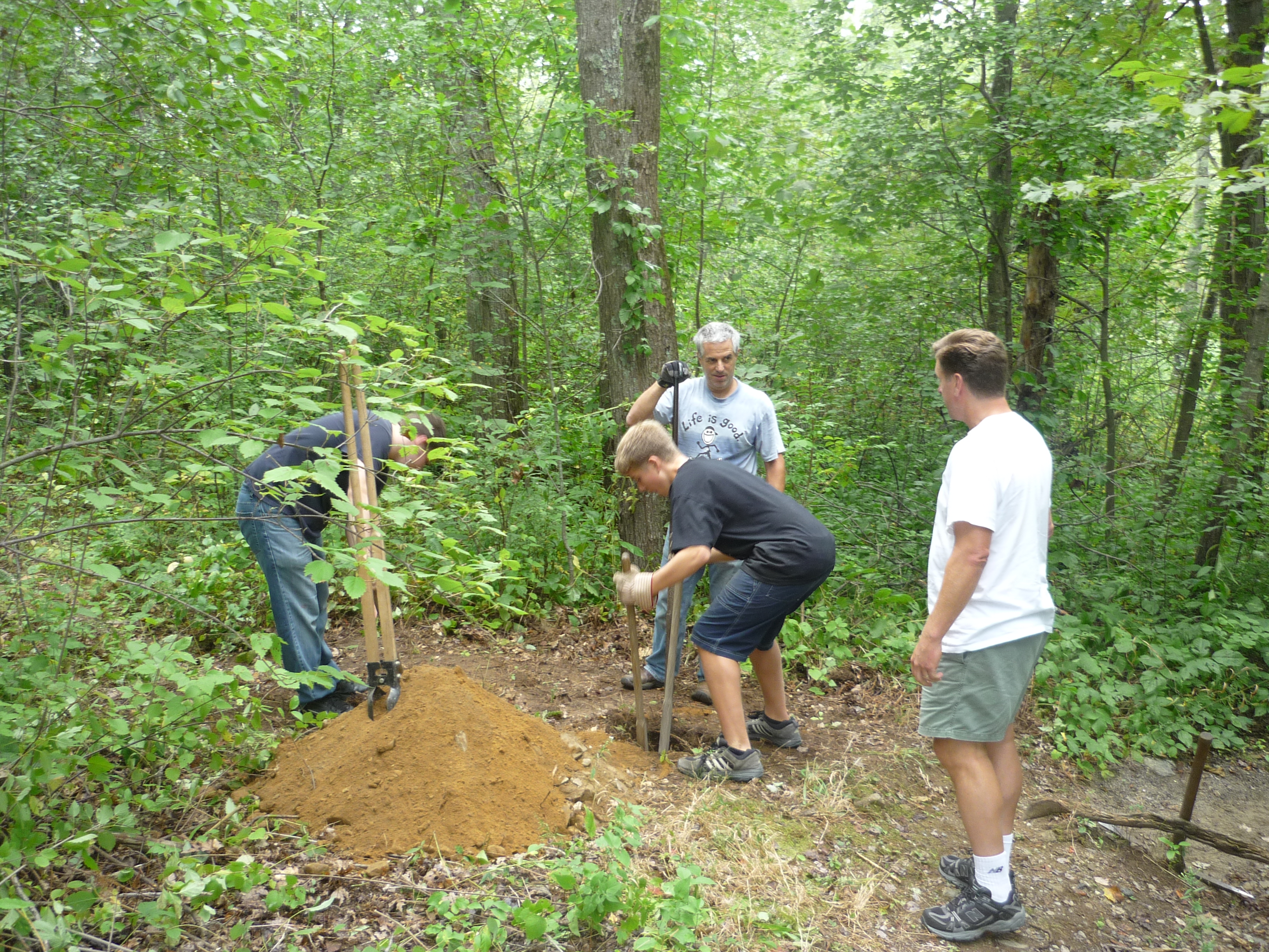
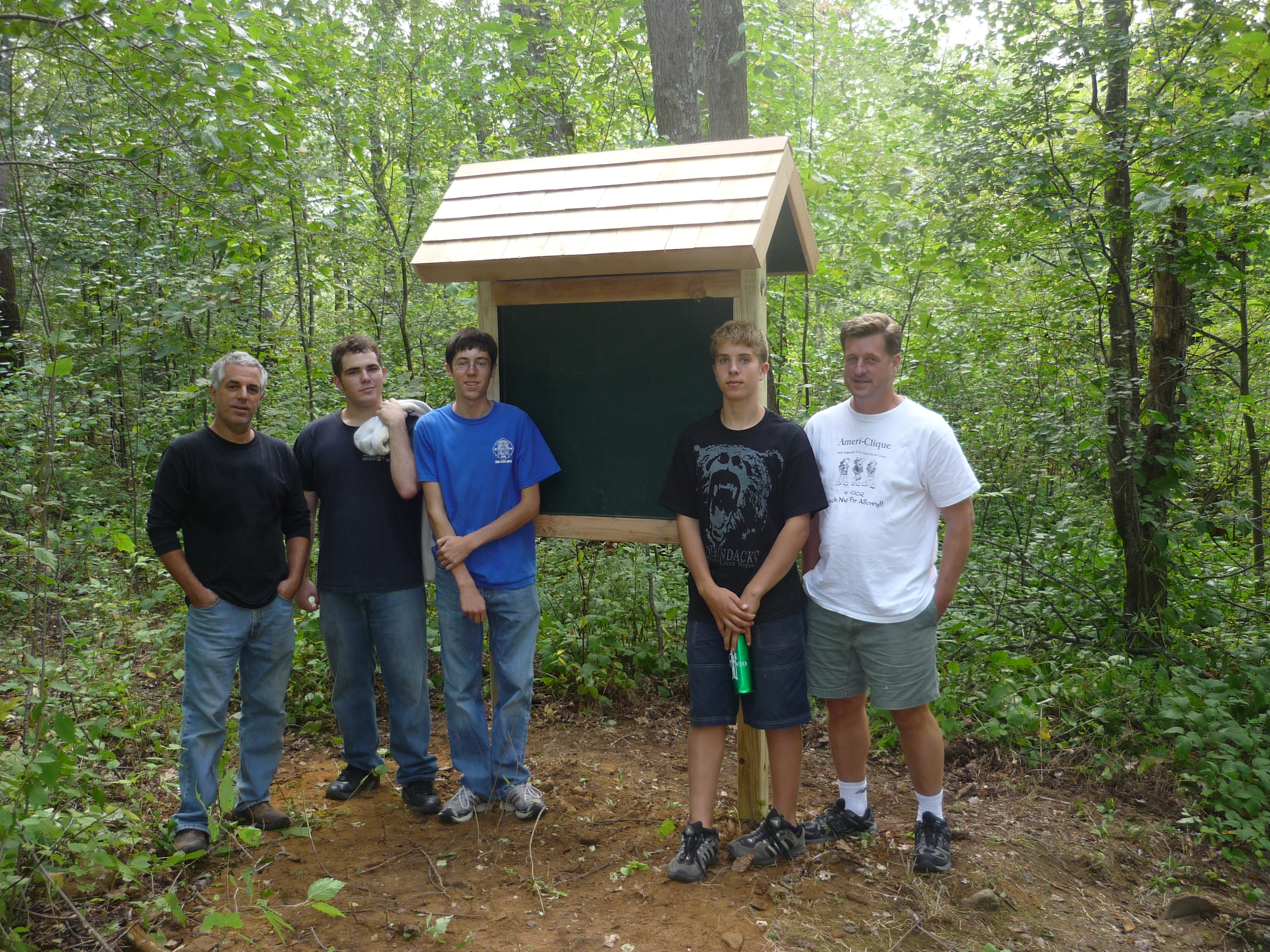
Project Documents
|
| ||||||||||||||||
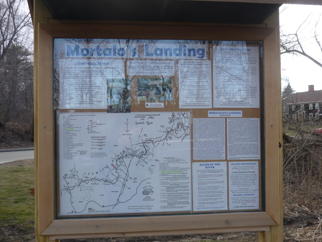
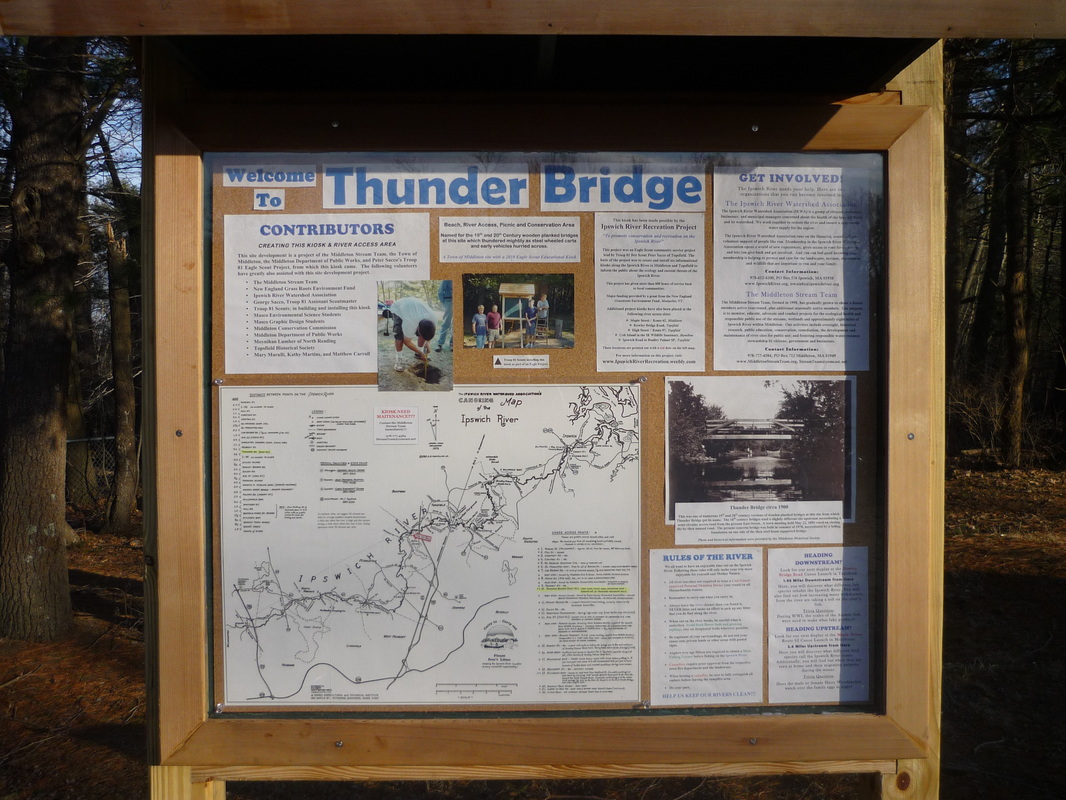
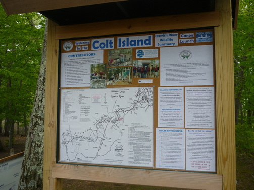
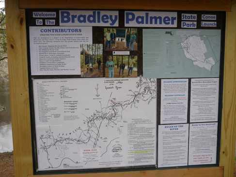
Note: All of the map side displays have the Ipswich River Watershed Association official canoe map of the Ipswich River in the bottom left hand corner, with all 6 kiosks pointed out with red dots, "you are here" signs for each respective launch, and highlighted respective launches in the canoe launches list on the right and mileage list on the left.
Maple Street Map Side Displays
|
| ||||||||||||||||||||||||||
Thunder Bridge Map Side Displays
|
Note: The original copy of the historic Thunder Bridge photo is kept with the Middleton Historical Society. | ||||||||||||||||||||||||||||
Rowley Bridge Map Side Displays

|
The second photo can be found at:
| ||||||||||||||||||||||||||||||
| Heading Upstream/Downstream? |
| Project Info |
| Title 2 |
| Maintenance Poster on Map |
High Street Map Side Displays

|
The second photo can be found at:
| ||||||||||||||||||||||||||||
| Subtitle and Logos |
| Title 1 |
| Photos Labels |
Colt Island Map Side Displays
|
| ||||||||||||||||||||||||||||||
Bradley Palmer Map Side Displays
|
Note: The park map shown is the standard Bradley Palmer State Park map with the right panel cut off. | ||||||||||||||||||||||||||
